
Trail Conditions
Live Updates for Slaughter Pen, Coler & NWA Mountain Bike Trails
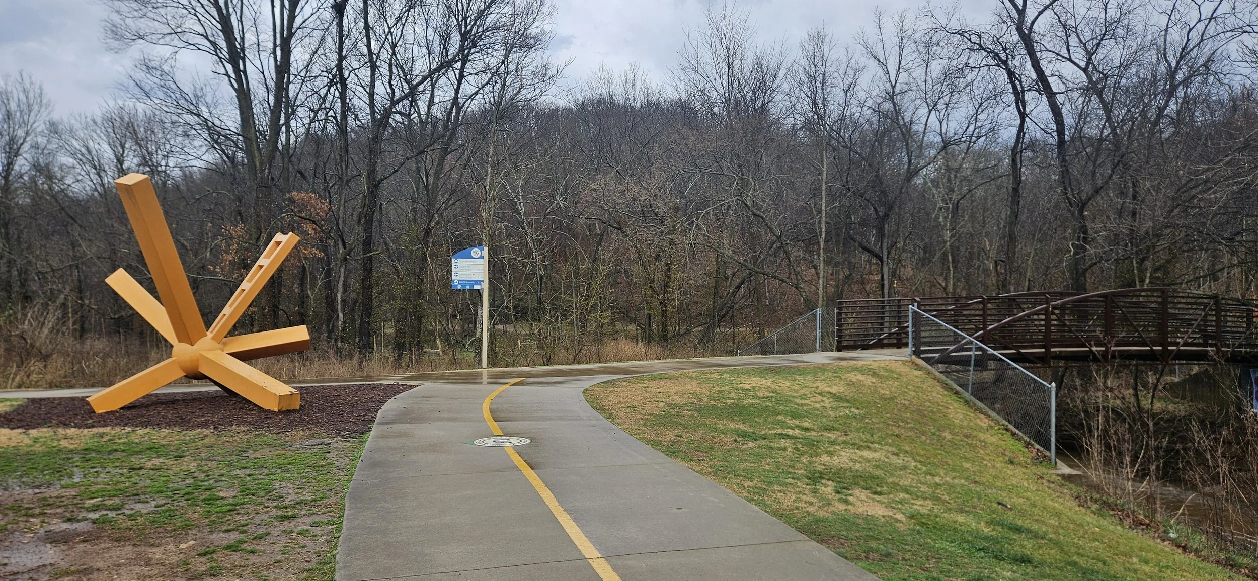
If you're riding in Bentonville, checking trail conditions isn’t optional — it’s part of being a responsible rider.
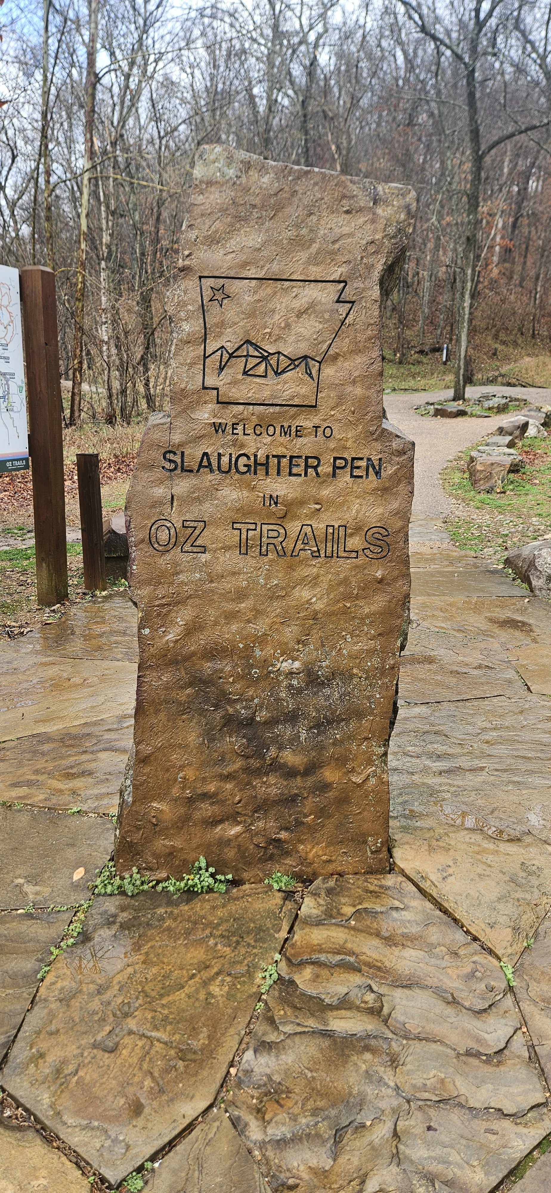
Northwest Arkansas trails ride fast and flowy when they’re dry… but our clay-heavy soil can hold moisture longer than you think. One storm, a freeze/thaw cycle, or early morning dew can make the difference between hero dirt and trail damage.
Are the Bentonville mountain bike trails open today?
We provide some of the official sources, live reporting tools and local communities on social media you can use to determine which trails are good to go, which to avoid, and some all weather options you can use regardless of the weather.
We are not the official authority for closures. Always verify with managing organizations before riding.
When NOT to Ride Bentonville Trails
This matters more than most people realize.
Northwest Arkansas trails are built incredibly well — but they are not invincible.
Avoid Riding When:
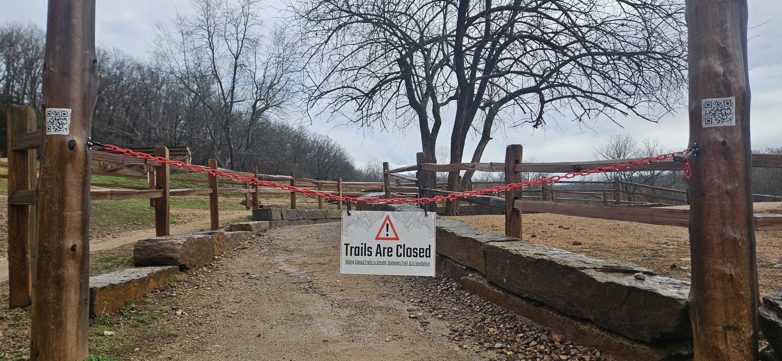
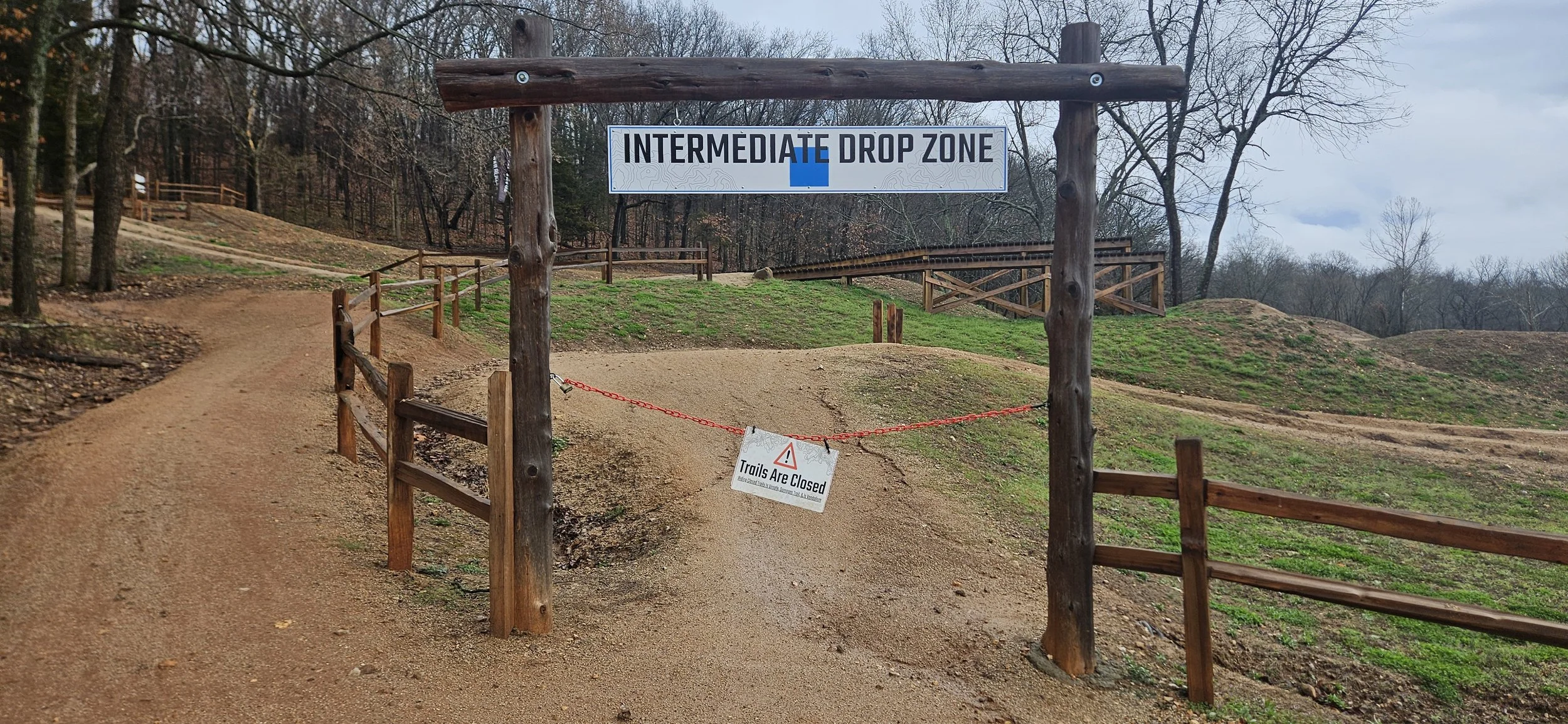
1. Trails Are Officially Closed
If a system is marked closed, respect it. Closures protect the trail surface and the volunteer time that maintains it.
2. During Freeze/Thaw Cycles
Winter riding can be great — until midday thaw softens the soil underneath a frozen crust. That’s when deep ruts form fast. If it’s frozen solid, you’re fine. If it’s soft underneath, turn around.
3. Immediately After Heavy Rain
Even if the surface looks dry, shaded sections can hold moisture longer. Bentonville clay compacts quickly and ruts easily.
Don’t Ride Wet Trails:
If your tires are leaving ruts, the trail is too wet.
if mud is sticking to your tires, the trail is too wet.
if you’re sliding or sinking into the trail, its too wet.
When in doubt, don’t ride.
Sources, tools and social media groups

FlowFeed tracks environmental conditions and moisture trends to estimate rideability.
This tool is helpful for:
Predicting drying times after rain
Monitoring freeze/thaw cycles
Checking regional trends before driving in
However, no tool replaces on-site verification. Bentonville’s microclimates can vary between trail systems — and even between north- and south-facing slopes.
Trailforks is one of the most widely used rider-reporting platforms in the region. Riders and trail stewards update individual trail segments as:
Something to keep in mind is that rider reports are helpful but not always official.
A trail marked “open” may still have wet spots.
Always use judgment on the ground.
When in doubt: if you’re leaving tire marks, it’s too wet.
Join the Local Trail Community
Local riders often know first. These community groups can provide real-time feedback from people who were just out there:
Before posting, always search the group — someone probably asked the same question within the last hour.
Community insight is valuable, but official closures always take priority.